A welcome guest

I’ve mentioned warmshowers.org  previously–a platform for a community of touring cyclists for reciprocal hospitality for cyclists and hosts.  I’ve stayed with a number of Warm Showers hosts over the years. The hosts have always been great. I’d use Warm Showers more but their web site doesn’t quite accommodate my more itinerant modes of cycling, as I’ve gotten used to figuring out where I’m going to be tomorrow, not in a few days.

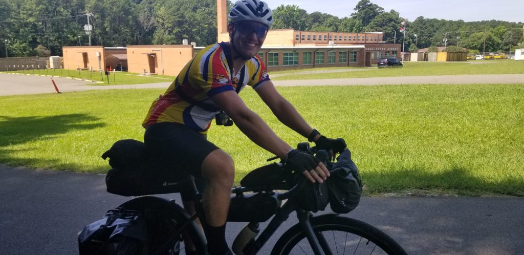
But in addition to being a touring cyclist, I’m also a Warm Showers host, and last night I had the pleasure of hosting Flo, a German cyclist on the last leg of his trip.

Starting in California, Flo wandered to the Grand Canyon to Vegas and Colorado, before heading south to Austin and the southern tip of Florida. He’s on the last leg of his trip now — his flight home from New York in 8 days. We spent the evening learning of a few of his adventures. Flo also has a strong social media presence on TikTok and Instagram (all in German), having reached the point of earning money!  He’s carrying a laptop, wearing a Go Pro, and carrying a drone, and spends time every day putting together a daily presentation of his ride.

I rode out with him this morning to get him on the Tobacco Trail. His route in last night was all traffic, and thought to at least get him off on a quieter start!

He’ll be back in the US following a similar route (bringing his girlfriend next time) and we look forward to their next visit.
 

Cycling Apps

I have a number of apps I rely on for touring. Some are obvious, like Google Translate. Other apps focus on where I stay: HotelWorld, booking.com, AirBnB (to a lesser extent), iOverlander, Trivago.

I lean on OSMAnd+ (Open Street Map)— my mapping program of choice—the hardest. It works off-line. It manages the GPS chip (keeping the GPS off when I’m not using it. It includes POI (point-of-information), such as campgrounds, hostels, ATMs, and the occasional wayward submarine. I can build custom POI overlays (such as all campgrounds and hostels, or all castles and historical sites). I can overlay GPX tracks (like the EuroVelo routes).

Today I found a new plugin for OSMAnd- CyclOSM. CyclOSM is a bicycle-oriented map built on top of OpenStreetMap,  aiming to provide a practical map for cyclists. The same map also lets you visualize main bicycle touring routes as well as essential POIs when touring (emergency services, shelters, tourism, shops).

CyclOSM offers three different map styles:

  • The default CyclOSM style, fit for most applications and map purposes;
  • The CyclOSM live style, fit for OpenStreetMap contributors (tiles are always minute updated) and available only at cyclosm.org and in contributions tools;
  • The CyclOSM lite variant, meant to be used as an overlay map to turn any map style into a bike map.

In other words, you can overlay CyclOSM on top of my usual mapping setup, providing an easy-to-use display of local cycling routes and paths. Very cool.